Date › 2023
Client › Ministry of Transport of the Slovak Republic
Processor › Alistiq
Authors › O. Nováček, D. Celúchová Bošanská
Type › Analysis and audit
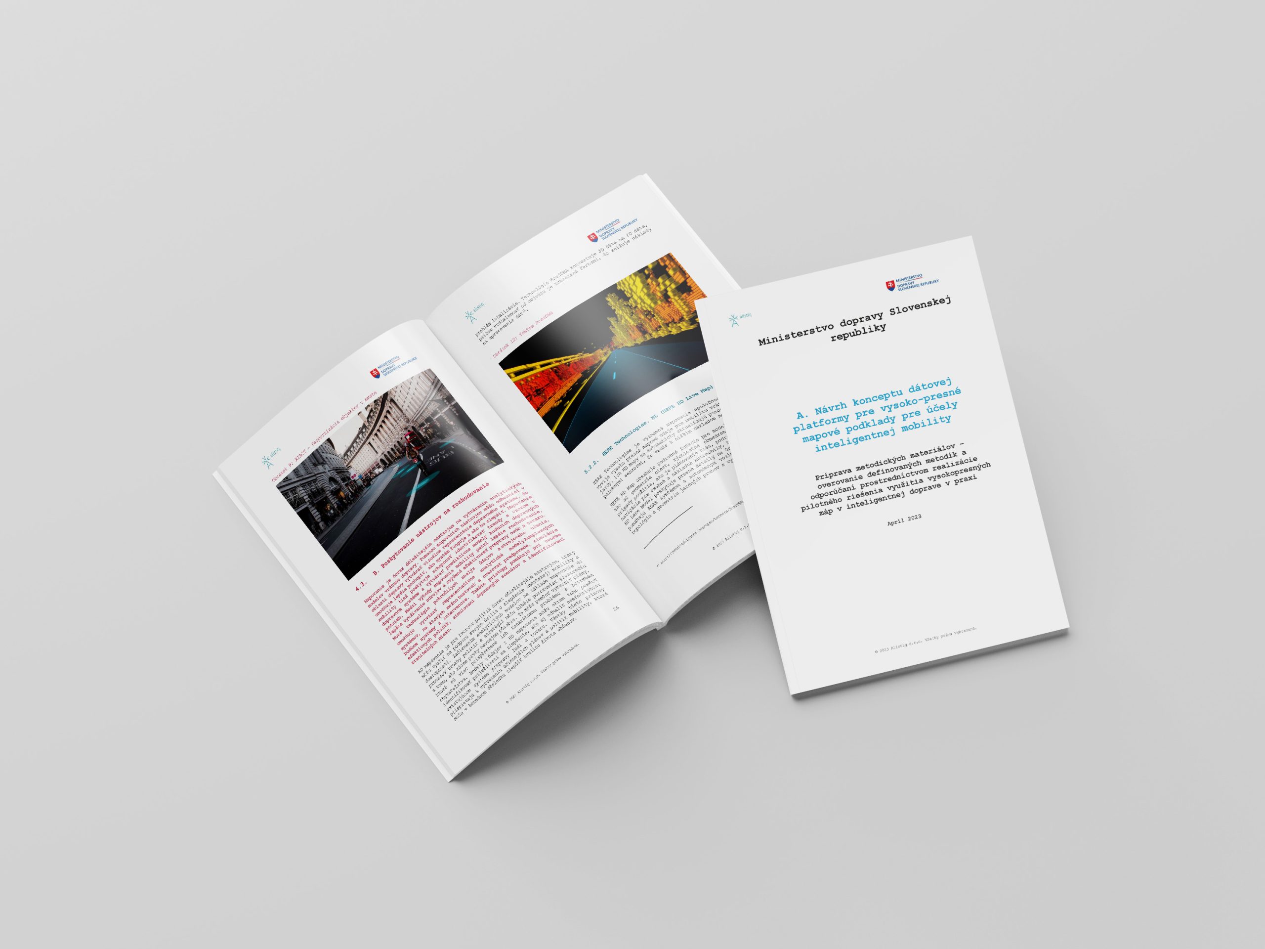
HD Maps in Mobility
High-Definition Maps (HD maps) represent a key technology for the development of smart mobility, particularly in the field of autonomous vehicle driving and advanced driver assistance systems. Their added value lies in their ability to provide more precise spatial information than conventional navigation maps, thereby enabling more efficient and safer real-time decision-making. This document focuses on the design of a data platform concept that integrates mapping bases, geospatial data, and datasets managed by the Ministry of Transport of the Slovak Republic, with the aim of supporting smart mobility applications. It includes a literature review, an analysis of options for linking relevant datasets, and a synthesis of findings for the design of a dynamic data infrastructure.
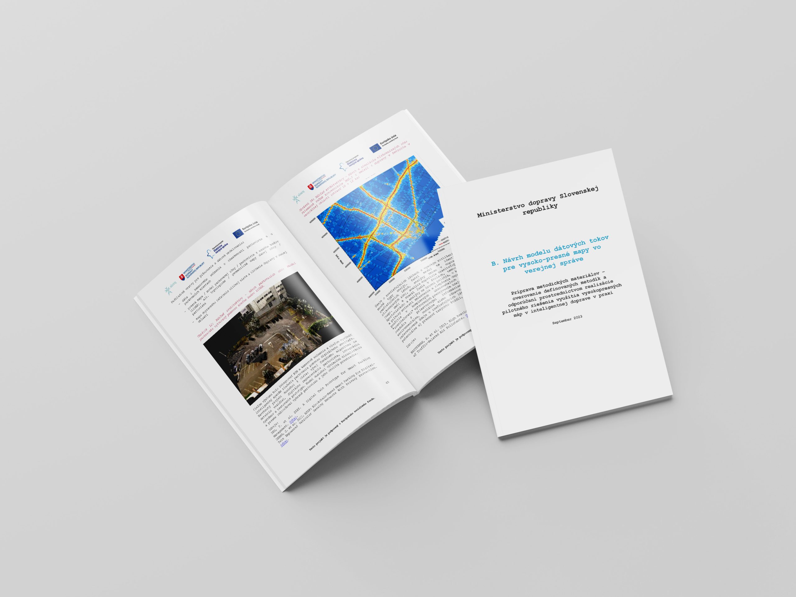
Special attention is given to examples of the practical use of HD maps, which serve as guidance for implementation in cities and transport systems. One illustrative measure is Low-Emission Zones (LEZs), which restrict entry to vehicles that do not meet emission standards, thereby contributing to improved air quality. Experiences from Scandinavian cities demonstrate that LEZs can effectively reduce harmful emissions and are complemented by other policy instruments such as zero-emission zones or congestion zones. These measures show that intelligent mapping data, in combination with regulatory strategies, represent an important tool for promoting sustainable, safe, and clean mobility in the urban environment.